
Document the Conditions
Capture scenes, vehicles and roadway or site measurements while access is available.
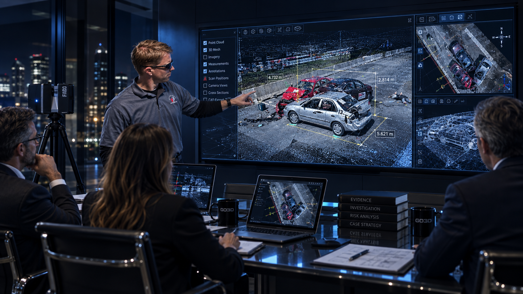
FORENSIC SERVICES / PRIVATE SECTOR
Reality Capture, 3D Scene Documentation, and Measurable Spatial Data for Attorneys, Insurers, Investigators, Engineers, and Retained Forensic Experts.
Preserve Physical Conditions. Develop a Spatial Record Your Technical Team Can Measure, Review and Use.
01 / THE SPATIAL RECORD
Scenes change. Vehicles move. A measured digital record preserves the captured geometry for later technical review.
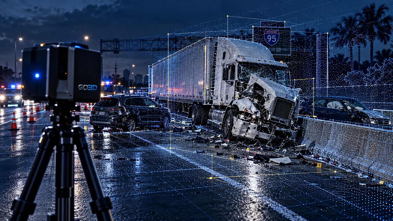
Capture scenes, vehicles and roadway or site measurements while access is available.
Organize scan data into point clouds that record the position and shape of captured surfaces.
Develop accurate, measurable digital records for downstream analysis, with coverage and measurement limitations identified for the receiving team.
02 / YOUR TECHNICAL PARTNER
One spatial reference. Different professional responsibilities.
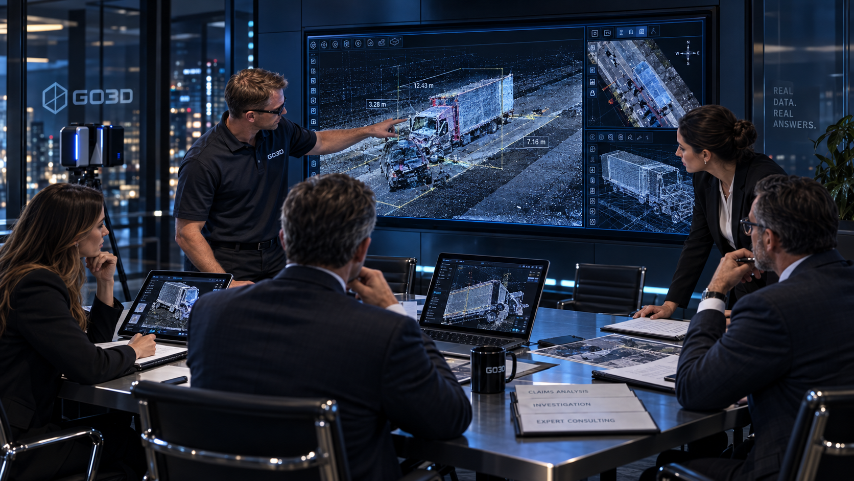
Spatial documentation and visual material for case preparation and retained expert review.
Measured records of vehicles, property and site conditions.
Scene geometry and object relationships to review alongside other evidence.
Point clouds, measurements and model geometry for technical assessment.
Scene and vehicle data for use in their independent reconstruction work.
Organized spatial assets in formats agreed for the project.
03 / FIELD DOCUMENTATION
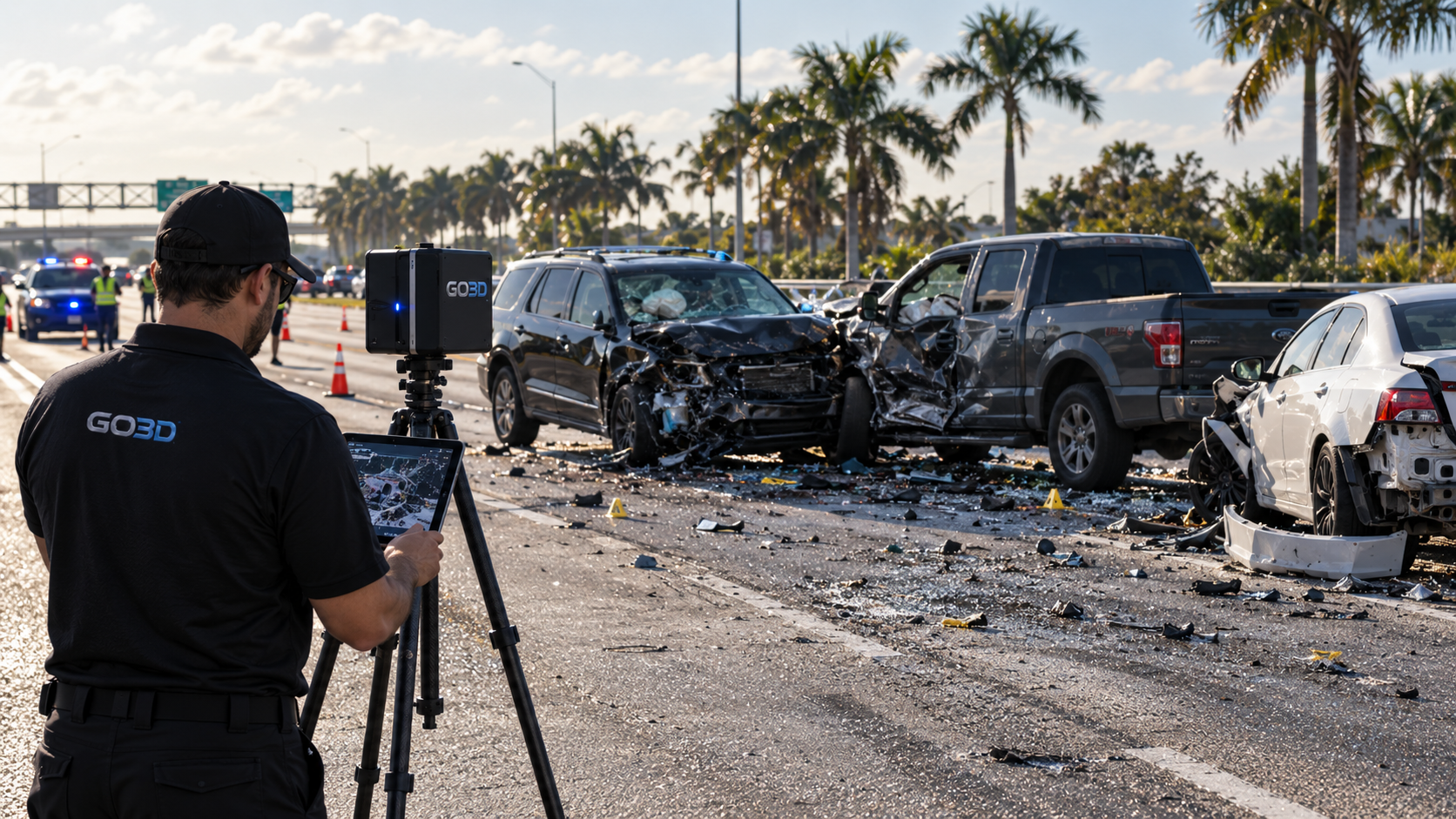
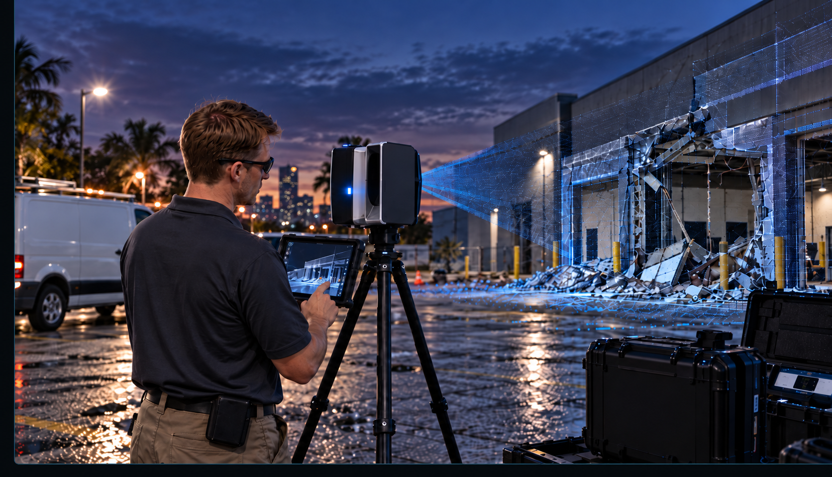
Collision scene scanning and roadway/site measurements document surface geometry, positions and spatial relationships.
3D capture preserves visible damaged vehicle surfaces for measurement and review after access ends.
Point clouds and mesh/model generation turn captured surfaces into measurable digital records for the retained technical team.
04 / FROM DATA TO DELIVERABLE
Agree on the end use before capture. GO3D processes and packages the spatial data around your team's software, review needs and presentation requirements.
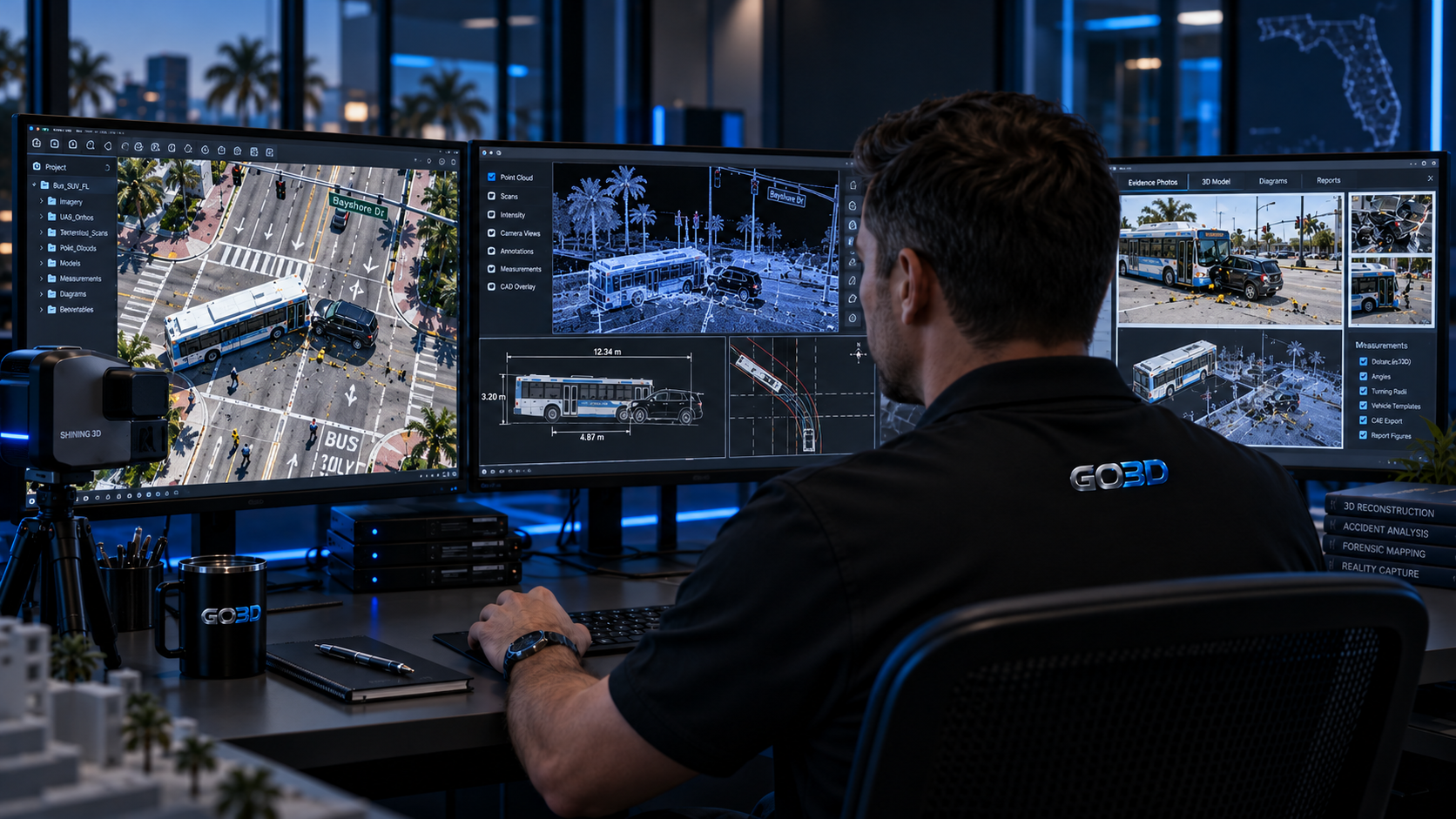
Point cloud processing, registration, organized scene data and derived measurements.
3D models, mesh surfaces and CAD-ready geometry for downstream technical workflows.
Technical exhibits, still renders, animations and litigation visualization, packaged with the agreed technical deliverables.
05 / EQUIPMENT + PEOPLE + DATA
Bring the right capture support to the site.
Discuss scanner/equipment rental support, equipment deployment and technical assistance around the location, access window and data requirements.
Equipment availability, suitability and the scope of field support are confirmed for each project.
06 / A CLEAR TECHNICAL HANDOFF
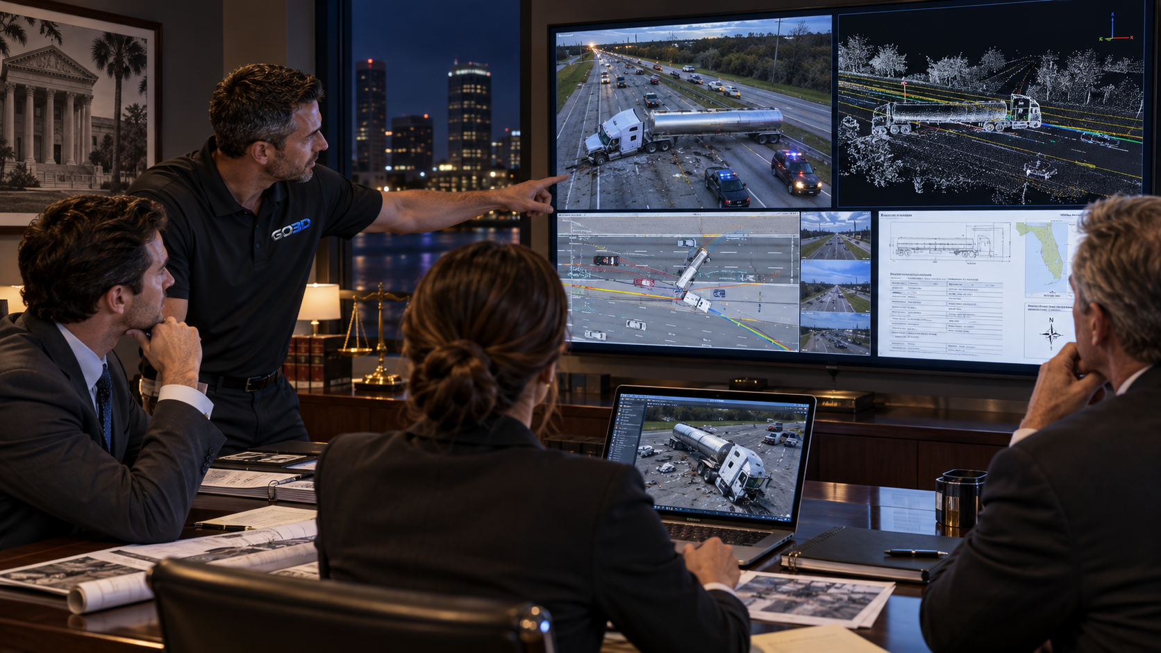
The spatial data, documentation, models and visualization-ready deliverables. Our role is technical reality capture, measurement and spatial-data development.
Retained experts, investigators, engineers, insurers and attorneys interpret findings and present conclusions. GO3D does not determine fault or causation, provide legal opinions or act as the expert witness.